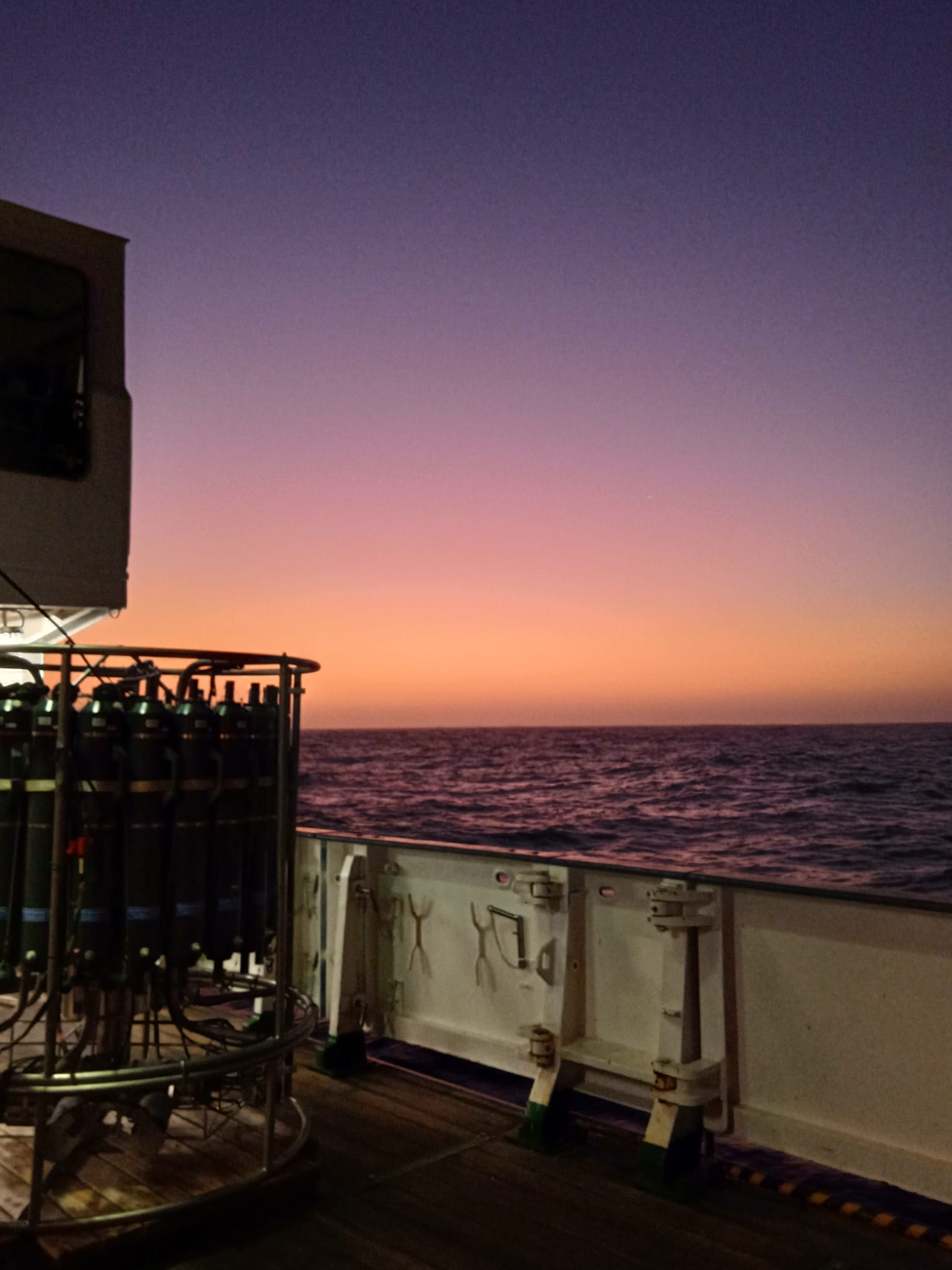
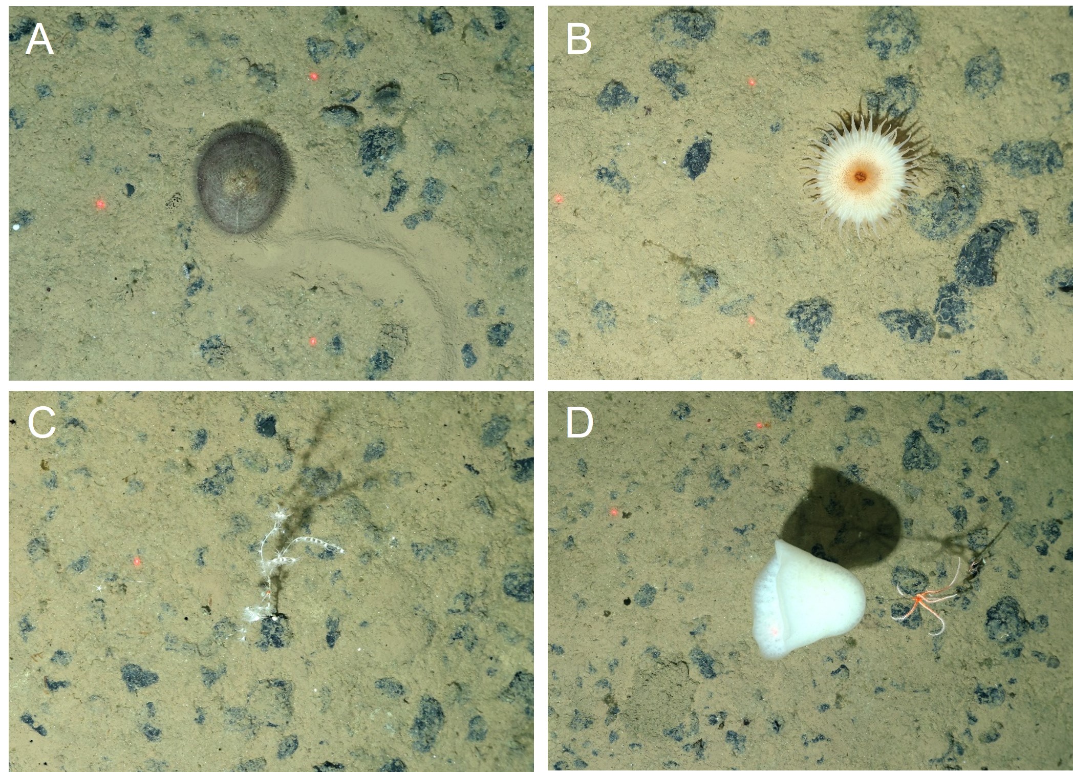
The CTD (short for Conductivity-Temperature-Depth) is a central instrument for most oceanic research. It infers the salinity from conductivity and measures, in addition to temperature and depth, oxygen, florescence and much more! Furthermore, it has 24 big bottles (10 L) attached to it, allowing for water collection from specific depths, which then in turn can […]
from Expedition METEOR M187 ReSEAt Blog
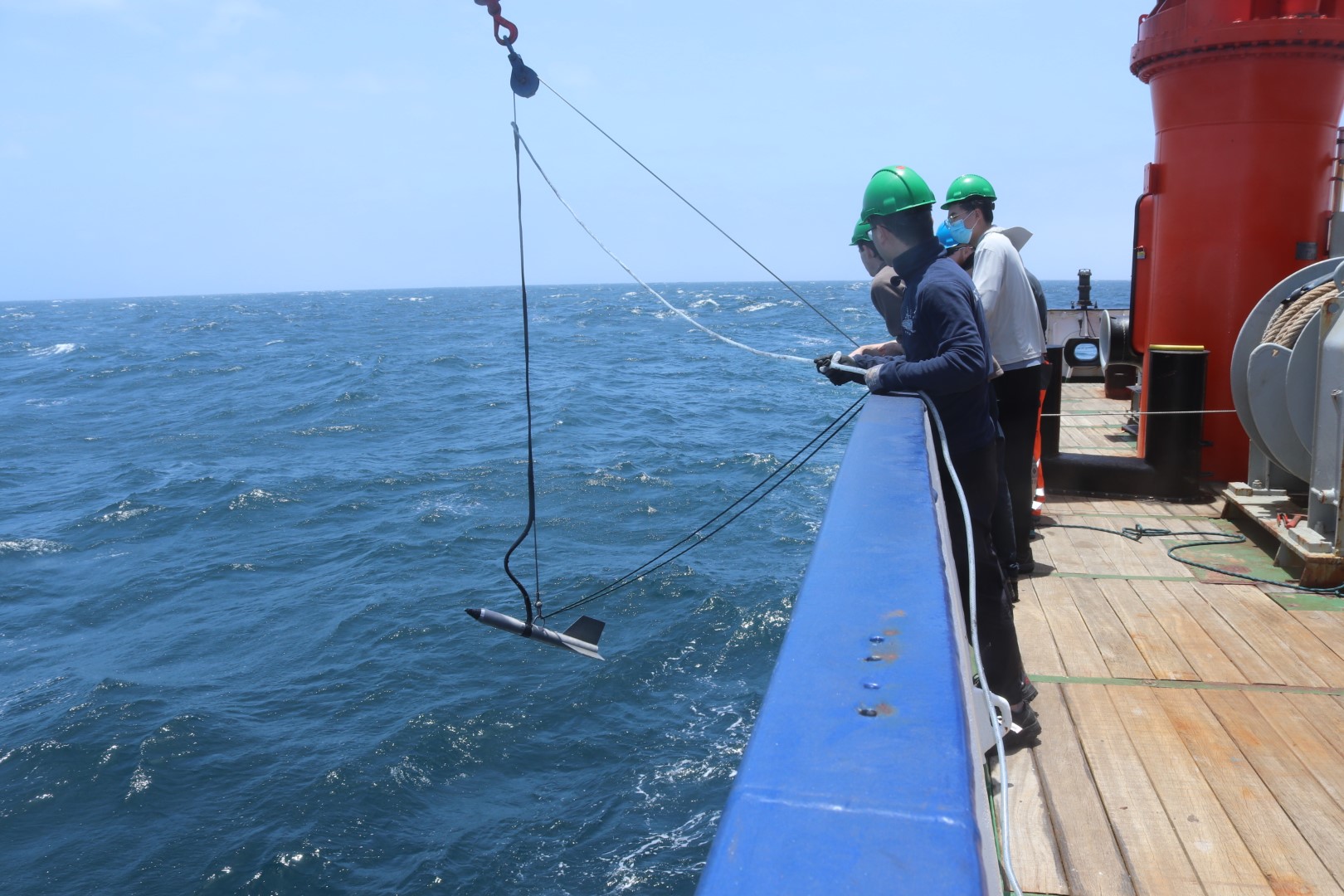
Sampling the water column in the South East Atlantic