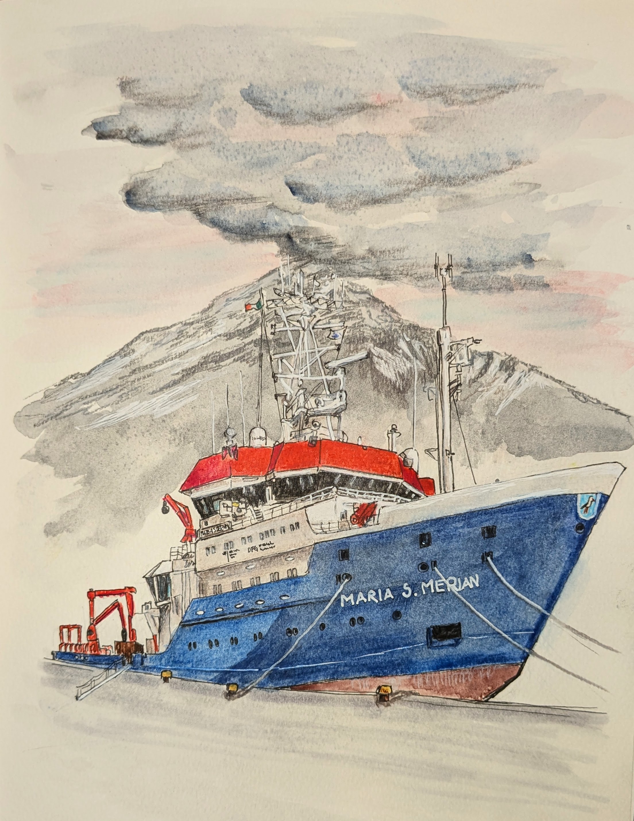
The Maria S. Merian glides through the caldera of Santorini, framed by the island’s iconic volcanic landscape, steep cliffs, and whitewashed houses. While this breathtaking scenery captures the imagination, it also serves as a central area of research for the MULTI-MAREX project. In the caldera, the new MOLA Landers (MOLA stands for Modular Ocean Lander […]
Catching some rays
On a summer day in the south Indian Ocean, it can seem like the sunlight supply is endless. But even on the brightest day, most of the ocean stays dark. Only the upper layer of the ocean receives enough light for phytoplankton to perform photosynthesis, a process that uses light energy to convert the inorganic […]
Geology in motion: Research in the Aegean’s Columbo volcanic field
The sun rises over the Aegean and bathes the sea in a warm light. A new day begins on the Maria S. Merian, the research vessel that navigates through this geologically active region. Researchers and crew are preparing for the next stage of an expedition that will provide insights into the dynamic processes beneath the […]
MULTI-MAREX sets sail: research data and advent calendar
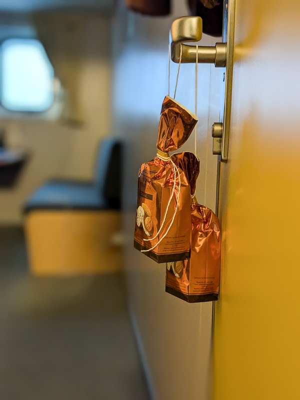
The majestic Mount Etna rises on the horizon as the Maria S. Merian leaves the port of Catania on 3 December. The coastline of Sicily slowly disappears from view and the research vessel sets course for the Aegean Sea. On board: an international team of 22 scientists and 24 crew members, determined to uncover the […]
Announcing some turbulence
In addition to their CTD duties described in the previous post, Kiel University-GEOMAR Climate Physics masters students Hannah Melzer and Paula Damke are always busy with something, from reading physics books for fun to creating beautiful artwork. Another task under their purview is measuring upper ocean turbulence using a microstructure profiler. The microstructure profiler is […]
The mighty CTD
Behold the mighty conductivity temperature depth (CTD) rosette! This is one of the workhorses of ocean research. Sensors measure conductivity (a proxy for salinity), temperature, light level, and other environmental parameters as they change with depth. These sensors are attached to a circular frame called a rosette that holds an array of sampling bottles that […]
Photographing particles and plankton
Tobias Strickmann, PhD student at GEOMAR, is a jack-of-all-trades here on the Sonne. He collects environmental DNA samples for Véronique Merten, a postdoc at GEOMAR, and he also works with Anita Butterley, PhD student at the University of Tasmania, to filter water for proteomics samples. In addition to being a great team player, he also […]
The journey begins: Sonne expedition 308
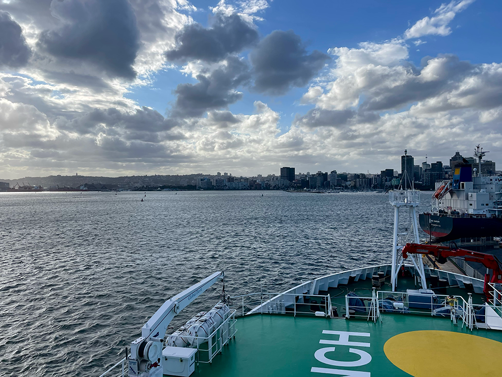
This cruise is a long time coming—the original proposal submitted by Chief Scientist Prof. Dr. Eric Achterberg estimated it would happen in 2017 or 2018! After we finally loaded the ship with equipment and 40 motivated scientists in late October 2024, we had to wait a few more days in port for repairs and inspections. […]
An insight into the crew’s life on board – an interview with stewardess Jessi
Interview and Text: Anja Conventz In addition to the captain, nautical officers, deck and engine crew, electricians, electronic engineers, cooks and a ship’s doctor, the crew of the SONNE includes four stewards. One stewardess who is also on board during our cruise SO307 is Jessica Münch, who has been working on SONNE since November 2021. […]
Ein Einblick in das Bordleben der Crew – ein Interview mit Stewardess Jessi
Interview und Text: Anja Conventz Neben Kapitän, nautischen Offizieren, Decks- und Maschinenmannschaft, Elektrikern, elektronischen Ingenieuren, Köchen und einer Schiffsärztin gehören vier Stewards zur Crew der SONNE. Eine Stewardess, die auch während unserer Fahrt SO307 mit dabei ist, ist Jessica Münch, die seit November 2021 an Bord arbeitet. Um Euch einen Einblick in die Arbeit einer […]


