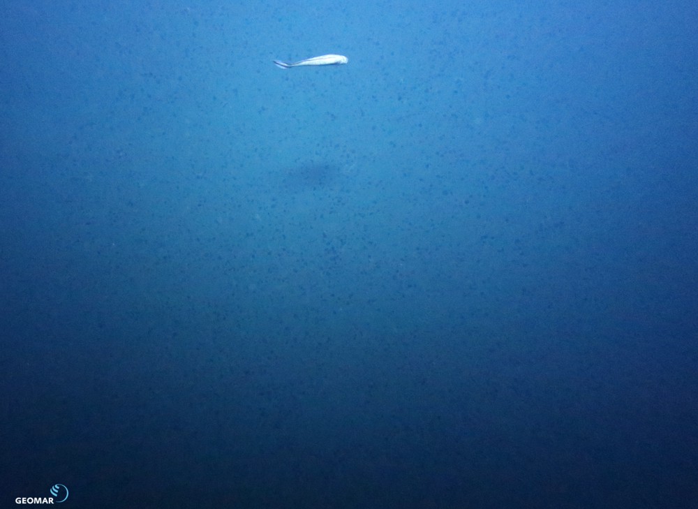
44,000 images: That is the result of one single dive with the camera-equipped Autonomous Underwater Vehicle called “Abyss”. During the current Cruise of FS Sonne, six of those camera dives are planned, but, time permitting, there will hopefully be even more. The brand new high-resolution camera and strong LED lighting setup in “Abyss” allow acquiring images that show a resolution of some millimeters per pixel from ten meters away. In combination with the built in fish-eye lens, this creates images with an enormous footprint of around 400 square meters.
Analyzing those images is a challenge first because the colors of objects appear bluish and as the high distance from the camera to the seafloor leads to blurring but mostly because of the vast amount of images to look at. Big storage devices are required to hold the recorded data and processing the raw information to extract meaning demands for intelligent algorithms and a powerful compute infrastructure. To operate these algorithms, computer scientists are part of the science team aboard FS Sonne. That way, the parameters of the camera and lighting can be fine-tuned to improve the image quality. Also, the vast amounts of data can be analyzed immediately on-ship to guide following sampling efforts with other gear.
To find patterns in images, methods from image processing, data mining and machine learning are and will be employed. The goal is to improve and develop algorithms that fuse images to mosaics, create 3D models of the seafloor, look for interesting objects automatically and guide experts in analyzing the big data amounts to derive geologic information about the habitat and biologic information about its inhabitants. As a computer scientist, this cruise is a unique opportunity to be part of the marine data acquisition process, understand the challenges that streamline the scientific processes on board and to give instant feedback by being able to process, analyze and, most importantly, visualize the data on-ship immediately. Acquiring 44,000 images was thus only the first step. Now we are fusing these with coordinates, sonar and environmental sensor data and create integrative maps to visualize and understand the processes at the seafloor.
We can’t wait to the next 44,000.
Timm Schoening (Uni Bielfeld)