So the visit to Büsum was great, nice typical Northern German weather
(windy, dark clouds and sun shine resulting in nice contrasted landscape).
The director of the FTZ, Roberto Mayerle, made a very
interesting presentation of the institution and scientific programs
going on (modelling of the wave propagation and water level generated
by storm surges). There are running a Now-casting program
predicting for the next 24h the sea-level of the North-German sea-coast.
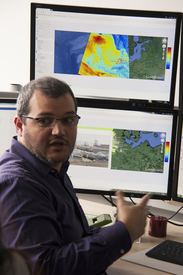
Roberto Mayerle (Photo: Camille Traini)
Then Katharina R. Niederndorfer presented her work on the Ems Estuary in
the frame of an ecological restoration project. She is modelling salt
water movement in the estuary and trying to find a better scenario to
flush out the mud of the estuary undergoing extreme siltation. The next
step of her work is to model the sediment transport according two
scenarios in the Ems Estuary.
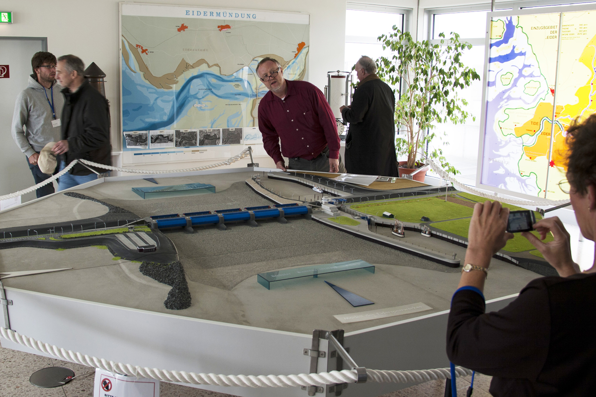
Model of the “Eidersperrwerk” (Photo: Camille Traini)
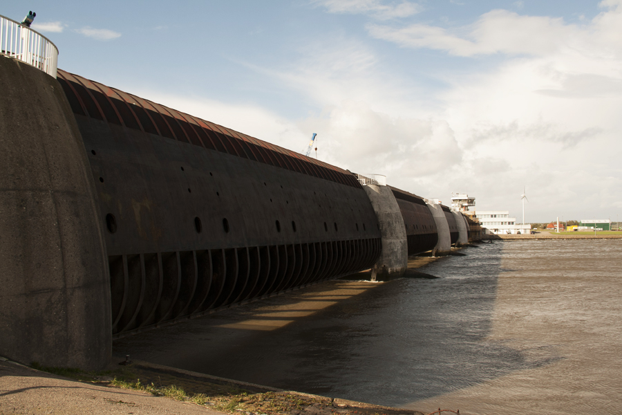
Then we visited the dam placed at the mouth
of the Eider-River. Klaus Ricklefs explained us the geological context
of this river and an historic overview of the different embanking of the
river (affecting the tidal oscillation up to Rendsburg), we also visited
the control tower of this dam.