(Für die deutsche Version bitte runterscrollen)
On Thursday, 14th of August 2020, R/V Sonne, one of Germany’s largest research vessels departs from Emden (Germany), towards Sicily and Malta in the Mediterranean Sea starting the OMAX cruise. During the cruise a team of scientists from GEOMAR Helmholtz Centre for Ocean Research Kiel in cooperation with the University of Malta will conduct geophysical, geochemical, and geological as well as geodetic measurements in the framework of the MAPACT ETNA (Monitoring and Mapping active deformation of Mount Etna) and SMART (Sustainable Management of Offshore Groundwater Resources) projects.
Firstly, the scientists will conduct measurements and surveys offshore Sicily in connection with the MAPACT ETNA project before continuing towards Malta to investigate offshore groundwater aquifers as a key component of the SMART project. Before steaming back towards Emden in October, the R/V Sonne will return to Sicily to collect OBS’s (Ocean Bottom Seismometer) data. For more information, check out the “About OMAX” page.
As an introduction to the cruise and the SMART project, we are very happy to present an interview with the SMART project leader Dr. Bradley Weymer (GEOMAR Helmholtz Centre for Ocean Research Kiel) answering key questions about the project and further explaining objectives as well as describing the role and importance of the upcoming OMAX (SO277) cruise for the SMART project.
Dr. Weymer, what are the main objectives within the SMART project and what is the role of the OMAX cruise?
The SMART project is funded by the Helmholtz European Partnering Initiative and supports the cooperation between GEOMAR and the University of Malta. The first aim of the project is to develop cutting edge technology and best practice guides to identify offshore groundwater occurrence in the seafloor by combining geophysical imaging techniques and geochemical methods, designed to focus on submarine groundwater discharge (SGD). The second objective is to integrate hydrogeological models, based on results from the combined geophysical and geochemical data. Those models help to evaluate whether these offshore aquifers could be used sustainably to serve as a long term alternative freshwater resource and to estimate the impact of climate change on these groundwater bodies. This topic is of great relevance to society since many coastal communities encounter severe freshwater scarcity. The presence of large offshore groundwater resources around the globe has been predicted by hydrogeological modelling and was locally observed for example through seafloor groundwater seeps and findings of salinity anomalies in seafloor boreholes. However, currently we are lacking a coherent approach in directly imaging and geochemically sampling these offshore groundwater bodies and providing important constraints for hydrogeological modelling.
Within SMART we are developing these technologies and will test them off Malta.
What is so unique about the SMART project?
This cruise will be the first detailed study of an offshore carbonate aquifer system, while all previous studies have focused on shelf areas where the seafloor consists mostly of sand and gravel. This study is also the first in which methods from different disciplines (geology, geophysics and geochemistry) are combined from the start to address the same problem from different perspectives.
Why are offshore aquifers important for society?
When most people go to the beach and gaze upon the open ocean, they don’t think about the possibility of freshwater beneath the seafloor. But in the geologic past, for example during the last glacial period (about 20,000 years ago) when sea levels were much lower than today, the coastline extended much further offshore – in some places hundreds of kilometres. If we employ key geologic principles, like “the key to the present is the past”, then well-understood hydrologic processes such as rain water infiltrating the ground and replenishing coastal groundwater aquifers, that we observe today, must have happened before. Bearing this in mind, one can imagine that rainwater likely created vast reserves of groundwater along ancient coastlines around the world. Because sea levels were rising, these reserves of groundwater that were emplaced in the past are now beneath the sea. Although we know that there is offshore groundwater in many places throughout the world, we are still in the very early stages of understanding exactly how they formed, how large the aquifers systems are, what are the dynamics of the system, and whether or not they are connected to present-day onshore (terrestrial) aquifers. These fundamental scientific questions are the motivation for our research cruise to address the overarching goals of SMART.
Why is the focus on Malta?
Malta is an island nation which is one of the most water deprived countries in the world and whose geological setting is representative for a large part of the Mediterranean coast.
It’s climate is very dry and the island is rapidly becoming overpopulated. As a result, the country is facing severe challenges that, without innovative technologies and sustainable management solutions, will likely worsen in the near future. Malta relies heavily on desalination, but given recent evidence that there is groundwater offshore how this vital resource may be used sustainably to help decrease freshwater shortages.
What are your thoughts on the cruise?
It’s a very challenging cruise because we are combining different technologies that individually only solve a small piece of the puzzle. But, by combining different techniques we have the unique opportunity of putting together many of the puzzle pieces in one research cruise. Among them are geophysical methods like CSEM (controlled source electromagnetics), AUV (autonomous underwater vehicle) dives, seismics, geochemical methods such as CTD (conductivity, temperature, depth) and water sample analysis as well as geological sampling that will come together for this project.
It is going to be exciting, but that’s the lure of science. Sometimes you get lucky and sometimes you need to keep digging.
What are we looking for and what gives us clues about the possible presence of offshore groundwater?
Seismic data alone cannot determine the presence of groundwater beneath the seafloor. But coupled with CSEM as a complimentary geophysical mapping tool, we can unravel the broader picture of the overall location and geometry of offshore groundwater reserves. In this way, marine geophysics can be viewed as an addition to the geochemical sampling efforts and help identify the most likely locations for groundwater seepage sites, which offer a window into the aquifer system. This seems like the metaphoric “needle in the haystack,” but since we have the advantage of making the haystack smaller, we have a much better chance of finding the needle.
What is done with the collected data onboard?
During the cruise we have the capabilities of processing the data nearly in real-time, giving us a sense of where we might find any direct indication of groundwater. Once we determine the most promising targets, we will use this information to assist the geochemical team to focus their sampling efforts at seepage sites in order to determine the salinity, age, and possible origin of the groundwater system.
What effects did the Covid-19 pandemic have on the OMAX cruise?
Our initial plan was to conduct two shorter cruises, but given the unforeseen challenges with Covid-19, we had to modify our plans. So we combined these cruises with an additional previously scheduled cruise (MAPACT ETNA) into one expedition. Normally, such a cruise would be planned over the course of many months or years, but here we had to act on the spot. Luckily, we already had all the necessary documents, permits and forms and were ready to start carrying out measurements offshore Malta and Sicily from that perspective.
I think all things considered we have been very fortunate. Originally, our cruise was scheduled for the end of this year onboard the R/V METEOR, which may or may not have been the ideal time to go. During the winter months the Mediterranean Sea often gets quite rough which makes proper surveying difficult. On the other hand, the rainy season which normally occurs between November and February, will likely recharge any offshore groundwater aquifers.
In any way, the OMAX cruise will give us valuable insights on the overall dynamics of the Maltese offshore groundwater system and will greatly improve our future research efforts to address these and new research questions.
The interview has been edited with Dr. Weymer’s consent.
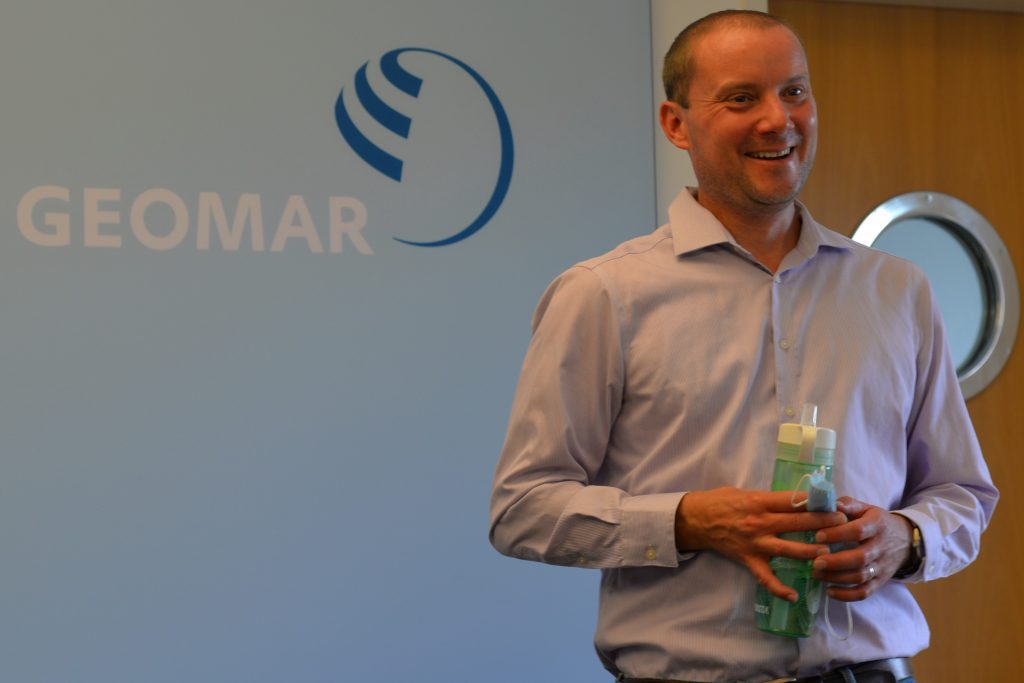
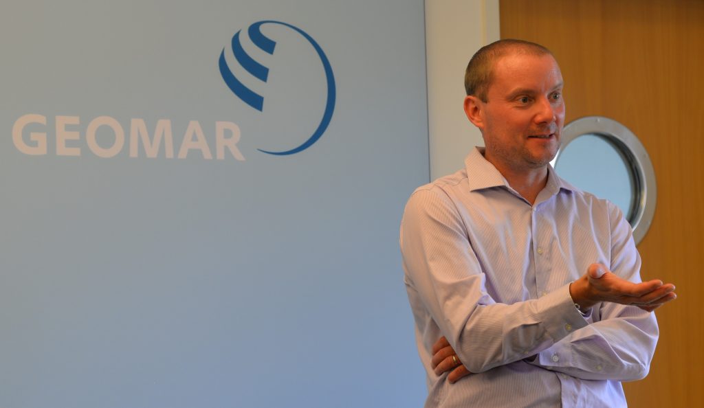
Dr. Weymer is a postdoctoral researcher with focus on coastal geology and has experience in investigating coastal systems ranging from the beaches of Canterbury plains in New Zealand to the barrier islands in the south of Texas, USA. He participated in eight International Ocean Discovery Program (IODP) expeditions and the National Gas Hydrate Program of India (NHGP) onboard the scientific drilling ship D/V Joides Resolution. Since 2017 he works at GEOMAR Helmholtz Centre for Ocean Research Kiel, first in the MARCAN project and now as a project leader of the SMART.
Authors and Photography: Johanna Klein, Thore Sager, Helene Hilbert, Anina-Kaja Hinz
Am Donnerstag, den 14. August 2020 nimmt die FS Sonne, eines von Deutschlands größten Forschungsschiffen, im Rahmen der OMAX-Expedition von Emden aus Kurs Richtung Sizilien und Malta im Mittelmeer. Während der Fahrt wird ein Team von Wissenschaftler*innen des GEOMAR Helmholtz-Zentrum für Ozeanforschung Kiel in Kooperation mit der Universität Malta geophysikalische, geochemische, geologische sowie geodätische Messungen in Zusammenhang mit dem MAPACT ETNA (Monitoring and mAPping ACTive deformation of Mount ETNA) und SMART (Sustainable MAnagement of offshore gRoundwaTer resources) Projekt durchführen.
Weitere Informationen zu diesen Projekten befinden sich auf der “About SO277” Seite.
Zunächst werden Untersuchungen und Messungen vor der Küste Siziliens in Zusammenhang mit dem MAPACT Projekt vorgenommen. Danach geht die Reise weiter nach Malta, um dort Offshore-Grundwasserspeicher zu untersuchen. Vor der Rückkehr nach Emden im Oktober, wird die FS Sonne noch einmal Kurs auf Sizilien nehmen, um vor Ort Daten von Ozeanbodenseismometer (OBS) aufzuzeichnen.
Wir freuen uns, dass wir Dr. Bradley Weymer (GEOMAR Helmholtz Zentrum für Ozeanforschung Kiel), den SMART Projektleiter, für ein Interview gewinnen konnten und er als Einleitung für die Expedition und das SMART Projekt selbst einige wesentliche Schlüsselfragen beantwortet. Weiterhin werden die Ziele und die Rolle der OMAX (SO277) Expedition für das SMART Projekt diskutiert.
Dr. Bradley Weymer, was sind die wesentlichen Ziele innerhalb des SMART Projektes und welche Rolle spielt die OMAX Expedition?
Das SMART Projekt wird von der Helmholtz European Partner Initiative finanziert, die eine Zusammenarbeit zwischen dem GEOMAR und der Universität Malta fördert. Das Hauptziel des Projektes ist es, optimale Verfahren zur Erkundung von Offshore-Grundwasserspeichern im Meeresboden mittels verschiedener geophysikalischer Bildgebungsverfahren und geochemischer Untersuchungen zu erarbeiten. Dabei liegt der Fokus auf untermeerischem Grundwasseraustausch. Ein anderes wichtiges Ziel ist die Erstellung hydrologischer Modelle aufgrund dieser Daten. Die Modelle sollen bei der Auswertung helfen, ob Offshore-Grundwasserspeicher als alternative Frischwasserquelle langfristig und nachhaltig genutzt werden können und inwiefern der Klimawandel diese Grundwasserreservoirs beeinflusst. Da viele Küstenorte unter Frischwasserknappheit leiden, ist dieses Thema von großer gesellschaftlicher Relevanz. Das weltweite Vorkommen von großen Grundwasserreservoirs im Offshore-Bereich wurde von hydrologischen Modellen vorhergesagt und bereits vereinzelt beobachtet, beispielsweise durch Grundwasseraustritte am Meeresgrund und das Auffinden von Salzwasseranomalien in Bohrlöchern am Meeresboden. Jedoch fehlt derzeit ein schlüssiges Konzept für den direkten Nachweis der Offshore-Grundwasserkörper, welches wichtige Rahmenbedingungen für die hydrologische Modellierung liefert.
Innerhalb des SMART Projektes entwickeln wir diese Techniken und testen sie vor Malta.
Was ist so einzigartig an dem SMART Projekt?
Die Expedition ist die erste detaillierte Studie über Offshore-Wasserleitersysteme in Karbonatgestein, während alle bisherigen Studien sich auf Küstenbereiche beschränkten, deren Meeresboden zum größten Teil aus Sand und Kies besteht. Diese Studie ist also die erste, die Methoden aus unterschiedlichen Disziplinen (Geologie, Geophysik und Geochemie) vereint, um ein bestimmtes Problem von Beginn an aus unterschiedlichen Perspektive zu betrachten.
Warum sind Offshore-Wasserleiter so wichtig für die Gesellschaft?
Wenn die meisten Menschen zum Strand gehen und auf das offene Meer blicken, dann denken sie nicht an die Möglichkeit von Frischwasservorkommen unterhalb des Meeresbodens. Aber in der geologischen Vergangenheit, z.B. während der letzten Eiszeit (vor ungefähr 20.000 Jahren), war der Meeresspiegel deutlich tiefer als heute und die damalige Küstenlinie erstreckte sich viel weiter in das heutige Meer hinein– stellenweise sogar einige hunderte Kilometer. Wenn wir geologische Schlüsselprinzipien wie „die Gegenwart ist der Schlüssel zur Vergangenheit“ anwenden, dann können wir annehmen, dass gut verstandene hydrologische Prozesse von Heute, wie das Einsickern von Regenwasser und Auffüllen der Grundwasserspeicher entlang der Küste, auch damals stattfanden. Daher kann man sich durchaus vorstellen, dass Regenwasser wahrscheinlich weltweit weitreichende Grundwasservorkommen entlang der ehemaligen Küstenlinie gebildet hat. Da die Meeresspiegel über die vergangenen tausend Jahre gestiegen ist, liegen diese in der Vergangenheit entstandenen Grundwasserreservoire nun meerseitig der heutigen Küstenlinie. Obwohl wir wissen, dass Offshore-Grundwasser an vielen Orten auf der Welt vorhanden ist, haben wir nur ein rudimentäres Verständnis darüber, wie diese Vorkommen gebildet werden, wie sie verlaufen, über die Dynamik der Systeme und ob sie mit den heutigen Wasserleitern an Land verbunden sind. Diese grundlegenden wissenschaftlichen Fragen sind die Motivation für unsere Expedition, um die übergeordneten Ziele des SMART Projektes zu erreichen.
Warum liegt der Fokus auf Malta?
Malta ist ein Inselstaat mit sehr trockenem Klima und eines der wasserärmsten Länder der Welt, welches zugleich geologisch repräsentativ für große Teile der Mittelmeerküsten ist.
Da zudem die Inselbevölkerung stark wächst, sieht sich das Land mit der großen Herausforderung zunehmender Wasserknappheit konfrontiert. Dieser wird sich ohne innovative technologische Entwicklungen und einer nachhaltigen Lösungsstrategie in naher Zukunft weiter verschärfen.
Malta ist heutzutage stark abhängig von Meerwasserentsalzung, doch könnte ein Nachweis von Grundwasser im Offshore-Bereich der Insel dazu führen, den Wassermangel durch nachhaltige Planung zu verringern. Hierzu müssen wir jedoch zunächst feststellen, ob und wie viel Grundwasser vorhanden ist.
Was für Gedanken machst du dir über die Forschungsfahrt?
Es ist eine sehr herausfordernde Expedition, weil so viele unterschiedliche Verfahren und Technologien kombiniert werden, die jeweils ein Stück zum Puzzle beitragen. Durch das Zusammenspiel der verschiedenen Methoden haben wir die einzigartige Gelegenheit, viele Teile innerhalb einer Ausfahrt zusammen zu fügen.
Darunter befinden sich geophysikalische Methoden wie das CSEM (Elektomagnetik mit gesteuerter Quelle – controlled source electromagnetics) und Seismik. Des weiteren finden geochemische Methoden wie CTD (conductivity, temperature, depth – Leitfähigkeit, Temperatur, Tiefe) Messungen Anwendung, sowie die Entnahme geologischer Bodenproben und Tauchgänge mit AUV (autonomous underwater vehicles – autonomes Unterwasserfahrzeuge).
Es wird aufregend, aber das ist ja auch das Verlockende an der Wissenschaft. Manchmal hat man direkt Glück und manchmal muss man eben einfach dranbleiben.
Wonach genau sucht ihr und was gibt euch Hinweise über das mögliche Vorhandensein von Offshore-Grundwasser?
Seismische Daten allein können keine Auskunft über das Vorhandensein von Grundwasser unterhalb des Meeresbodens geben. Aber zusammen mit elektromagnetischen Daten als komplementäres geophysikalisches Erkundungsverfahren, erhalten wir einen genaueren Überblick über die Position und den Aufbau der Offshore-Grundwasserreserven.
Sobald wir ein Erfolg versprechendes Ziel gefunden haben, werden wir mit den Informationen das geochemische Team unterstützen, um eine erfolgreiche Probennahme an Grundwasseraustrittsstellen zu ermöglichen. Diese Proben werden dann auf ihren Salzgehalt, Alter und den möglichen Ursprung des Grundwassersystems untersucht.
Welchen Einfluss hatte die Covid-19 Pandemie auf die OMAX Expedition?
Ursprünglicher hatten wir zwei kleinere Forschungsfahrten geplant, aber durch die unvorhersehbaren Herausforderungen durch die Covid-19 Pandemie mussten wir unsere Pläne ändern. Daher haben wir nun beide Forschungsfahrten mit der zuvor festgesetzten MAPACT ETNA Expedition zusammengelegt. Normalerweise würde eine solche Expedition über Monate oder Jahre im Voraus geplant werden, aber wir mussten augenblicklich handeln. Glücklicherweise hatten wir alle notwendigen Dokumente, Bescheinigungen und Erlaubnisse vorliegen und waren somit bereit, jederzeit unsere Messungen vor Malta und Sizilien zu beginnen.
Im Großen und Ganzen hatten wir Glück. Eigentlich war unsere Forschungsfahrt für das Ende des Jahres mit der FS Meteor angesetzt. Dies wäre vielleicht der geeignetere Zeitpunkt gewesen. Allerdings wird das Mittelmeer während der Wintermonate häufig sehr stürmisch, wodurch Messungen schwieriger werden. Andererseits wären die Wintermonate durch die erhöhte Niederschlagsrate gut geeignet, weil wir annehmen, dass dadurch einige Offshore-Grundwasservorkommen aufgefüllt werden.
Die OMAX Expedition wird uns wertvolle Erkenntnisse über das hydrodynamische System vor Malta liefern und unsere zukünftigen Anstrengungen in Bezug auf dieses Forschungsfeld ankurbeln. Dadurch werden sich neue wissenschaftliche Fragestellungen ergeben.
Dieses Interview wurde mit Zustimmung von Dr. Bradley Weymer überarbeitet.

Dr. Weymer ist ein Postdoktorand und setzt seinen Fokus auf Küstengeologie. Er hat bereits Erfahrungen im Bereich der Untersuchung von Küstensystemen gesammelt – von den Canterbury Plains in Neuseeland bis zu den vorgelagerten Inseln im Süden von Texas (USA). Des Weiteren hat er an acht Expeditionen im Rahmen des International Ocean Discovery Program (IODP) und dem indischen National Gas Hydrate Program (NGHP) an Bord der D/V Joides Resolution teilgenommen. Seit 2017 arbeitet er am GEOMAR Helmholtz Zentrum für Ozeanforschung Kiel, zunächst im MARCAN Projekt und nun auch als Projektleiter im SMART Projekt.
Authors and Photography: Johanna Klein, Thore Sager, Helene Hilbert, Anina-Kaja Hinz