Adios España … Transiting to our working area
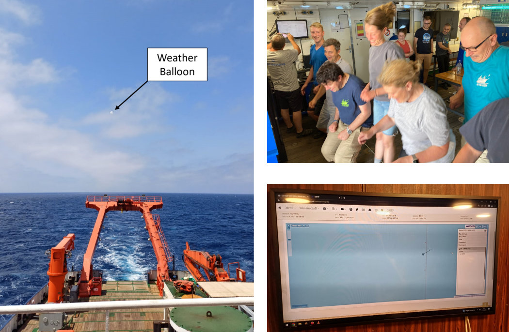
Throughout our 3.5-day transit from Algeciras to our first submarine volcano site, the M191 science team had time to ease into the official work load and shift system by getting started on several tasks before the official rock sampling and seafloor mapping duties began. Whilst some of the scientists set-up the geology and hydroacoustic labs, others deployed the cruise’s first weather balloon to record useful meteorological parameters including atmospheric pressure, temperature and humidity. We also had some leisure time at our disposal, which saw the science team hitting the gym, playing table soccer or darts, and even reenacting the real-time crossing of the Meridian line!
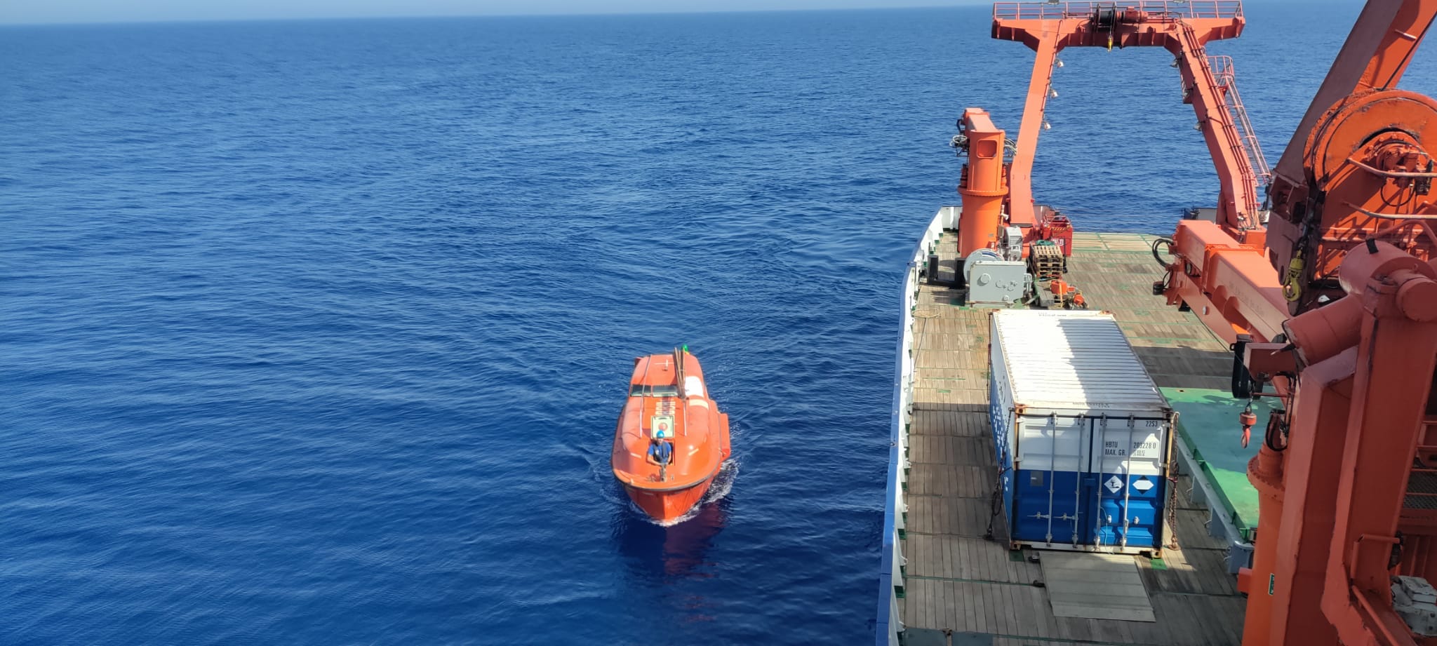
Meanwhile, the R/V Meteor’s crew worked around the clock to get the ship geared up for our scientific endeavours and to ensure that we are all safe, happy and comfortable onboard.
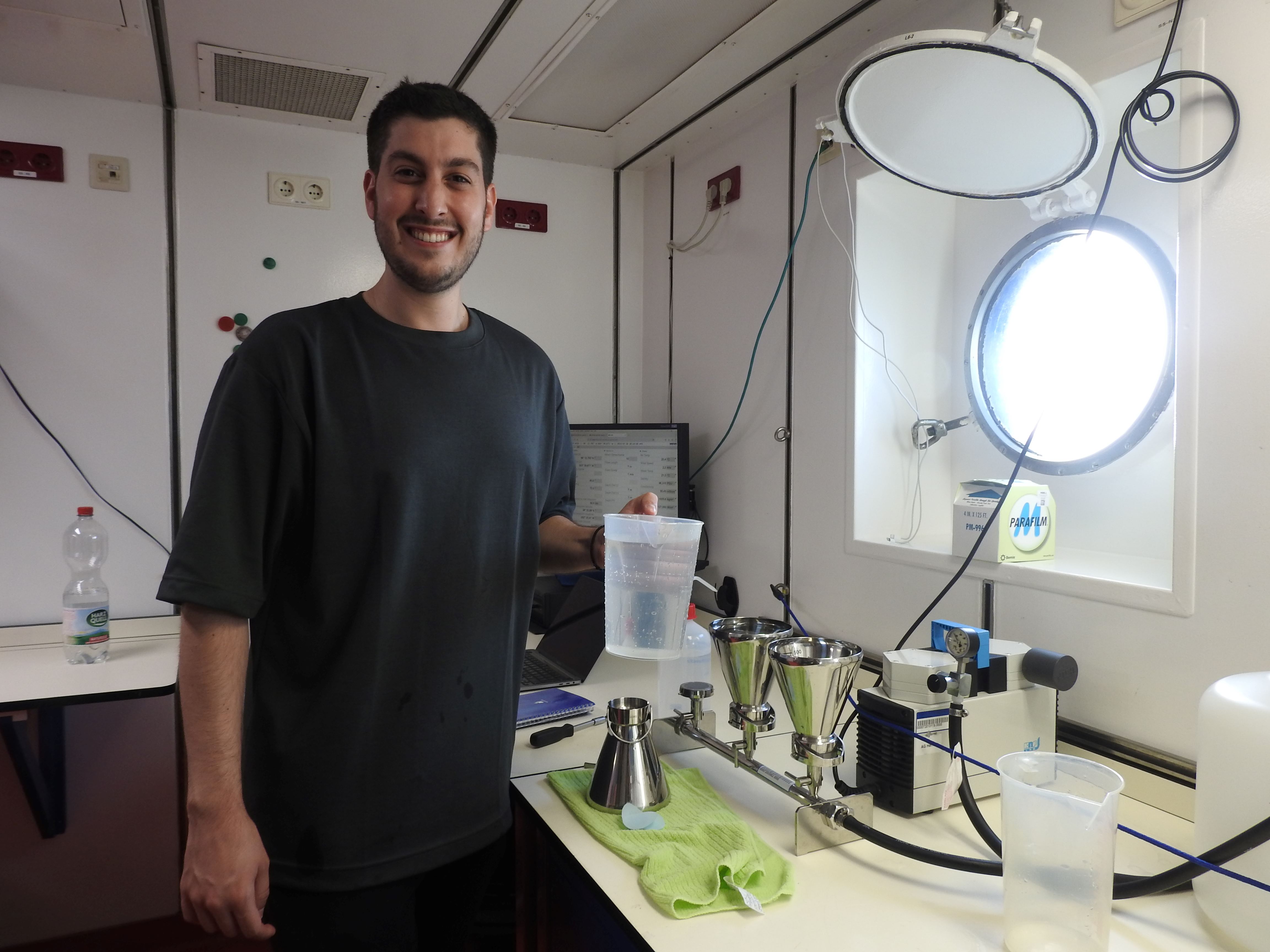
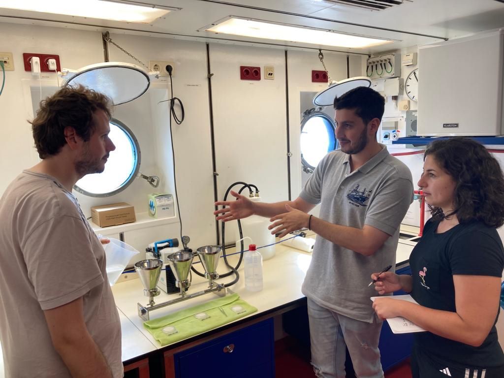
Soon after leaving the Algeciras Port, our resident nannoplankton paleobiologist, Odysseus Archontikis, immediately got to work collecting seawater samples every 4 to 6 hours. His objective for the M191 expedition is to track and assess responses of plankton calcification, biodiversity and life-cycle distribution along the large biogeochemical and physical gradient of the Mediterranean Sea. Given the regular sample collection intervals required for this analysis, such work cannot be managed by one person alone. So, Odysseus recruited two other scientists, Alastair Hodgetts and Jacqueline Grech Licari, to assist.
Did someone say pizza? Reaching Italy’s Exclusive Economic Zone
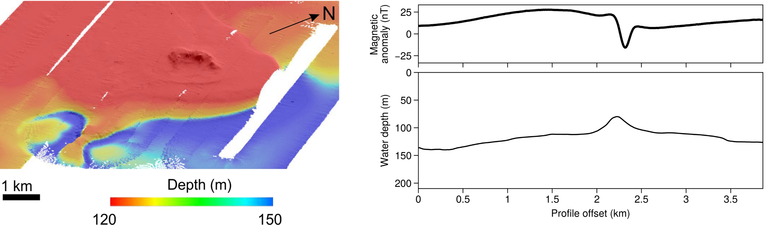
Upon entering Italian waters, the host of all of our working areas, the geophysics team began mapping the seafloor for the SUAVE project by acquiring and processing data from the multibeam echosounder (MBES), the PARASOUND sub-bottom profiler and the magnetometer. The MBES provides high-resolution bathymetric data while the sub-bottom profiler sheds light onto sub-seafloor geology. Additionally, the magnetometer is deployed to identify ferromagnetic features such as volcanic structures, including intrusions, seamounts and tephra layers.
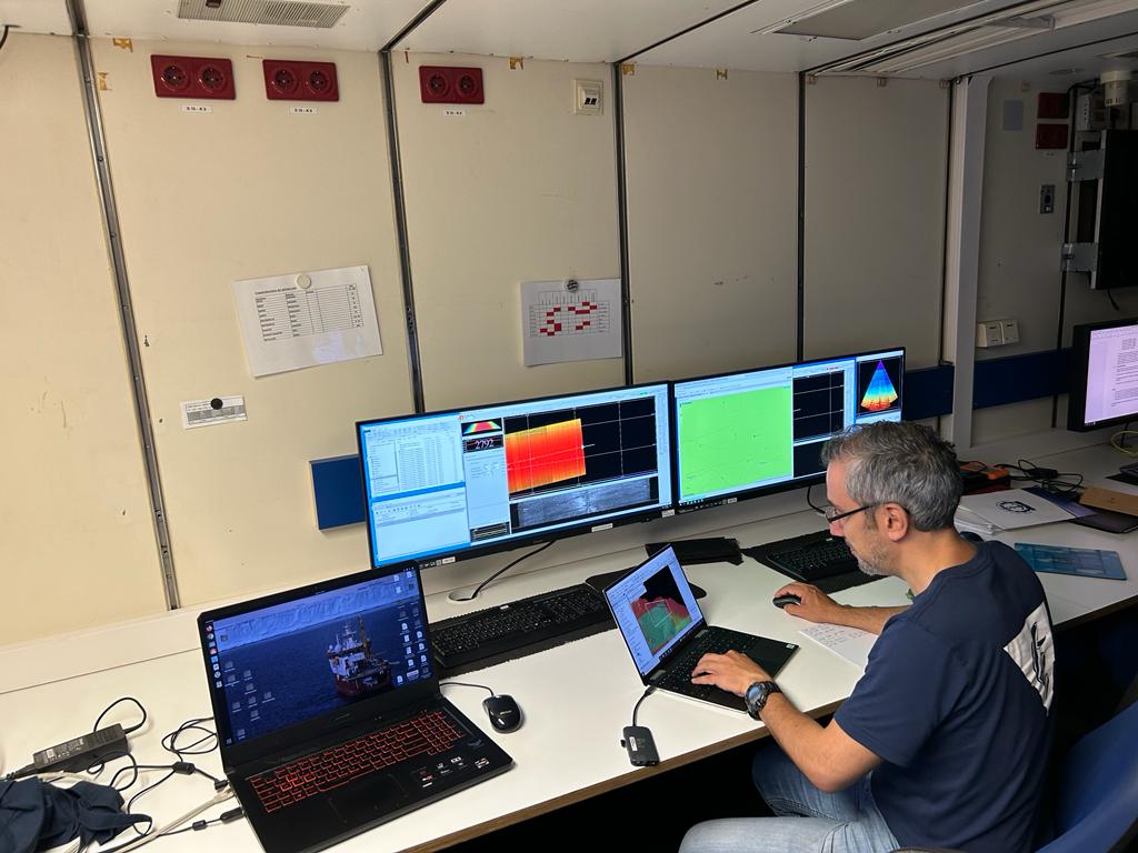
Seafloor mapping was essential in determining the best sites for dredging. The combination of all three geophysical techniques has allowed us to locate volcanic structures, as well as confirm the presence or absence of volcanic products at areas of high topography or mounts. In our expedition so far we’ve already discovered new volcanic features, whilst other suspected volcanic edifices have instead turned out to not be igneous – we are learning more about the seafloor everyday!
Onto the hard stuff… seafloor rock sampling!
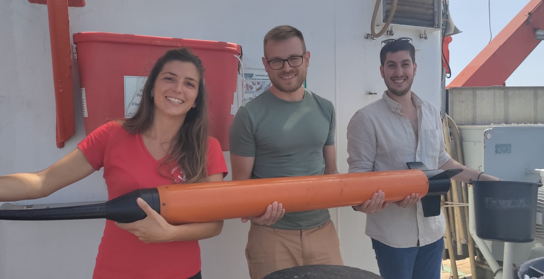
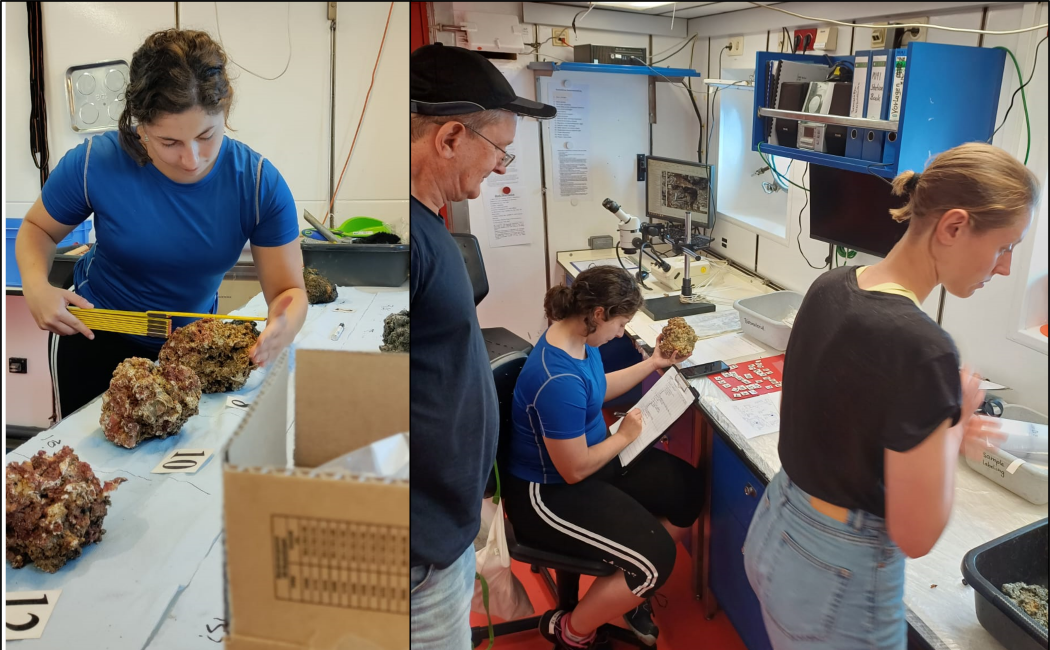
Following our first day of seafloor mapping, dredge operations finally commenced. We collected a diverse range of samples from hydrothermal rocks to pyroclastics, lavas, volcaniclastics and carbonates, with sample processing taking place around the clock. The Graham Bank region, where the Ferdinandea submarine volcano erupted in 1831, returned some of the most promising rock samples (figures below). Fun fact: The 1831 eruption produced a volcanic island that breached the sea surface, but it was quickly washed away by wave erosion within 6 months of its formation.
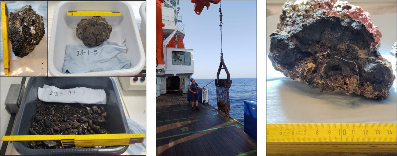
Rock processing involves various steps from selecting samples to measuring, photographing, describing, cutting for geochemical analysis and archiving for later use.
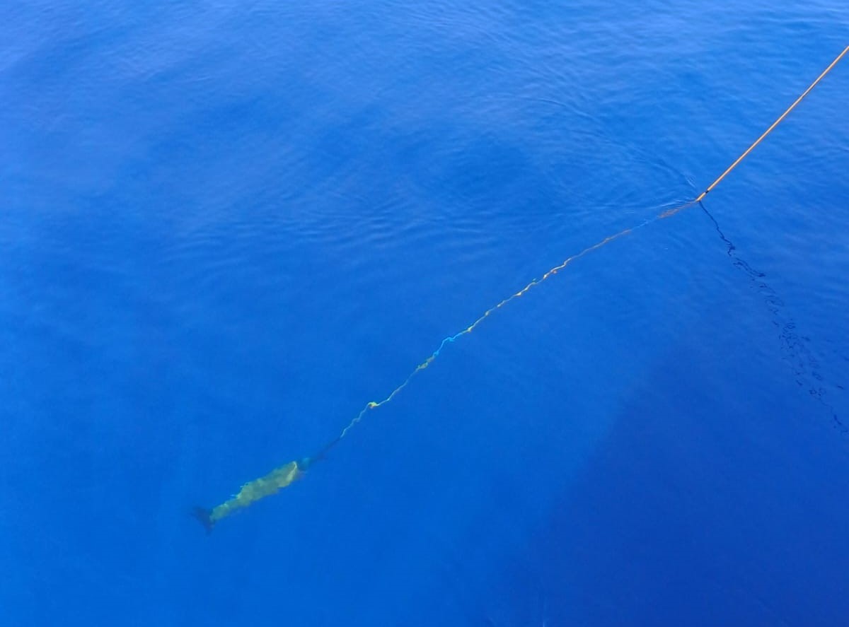
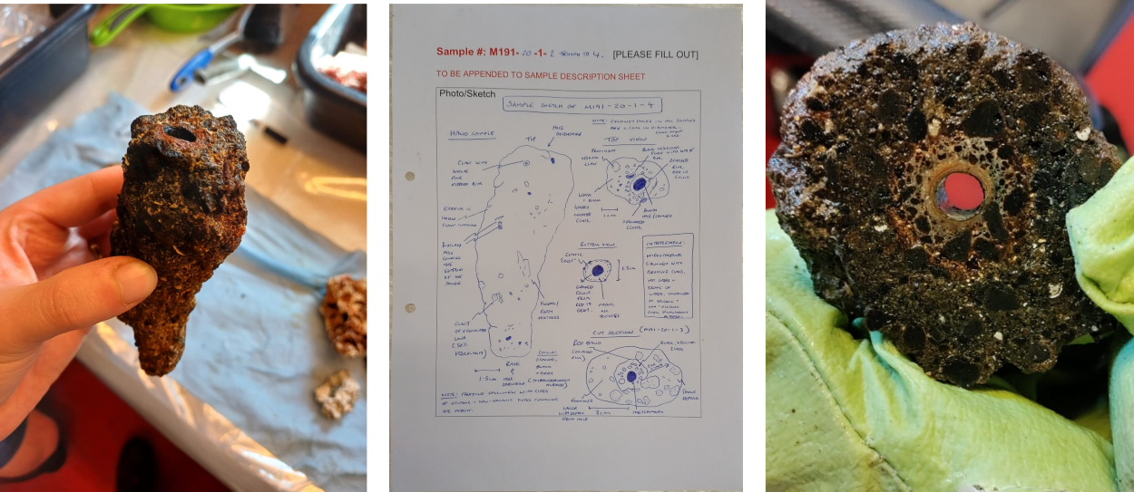
On Saturday, 22nd July, excitement on the R/V Meteor flared up when we intersected a hydrothermal vent field in the Graham Bank region. Its location was close to a fumarole field first noted by Coltelli et al. (2016) from INGV Sicily after their 2012 fieldwork. Water column data from our multibeam echosounder captured gas escape from an active chimney in real-time.
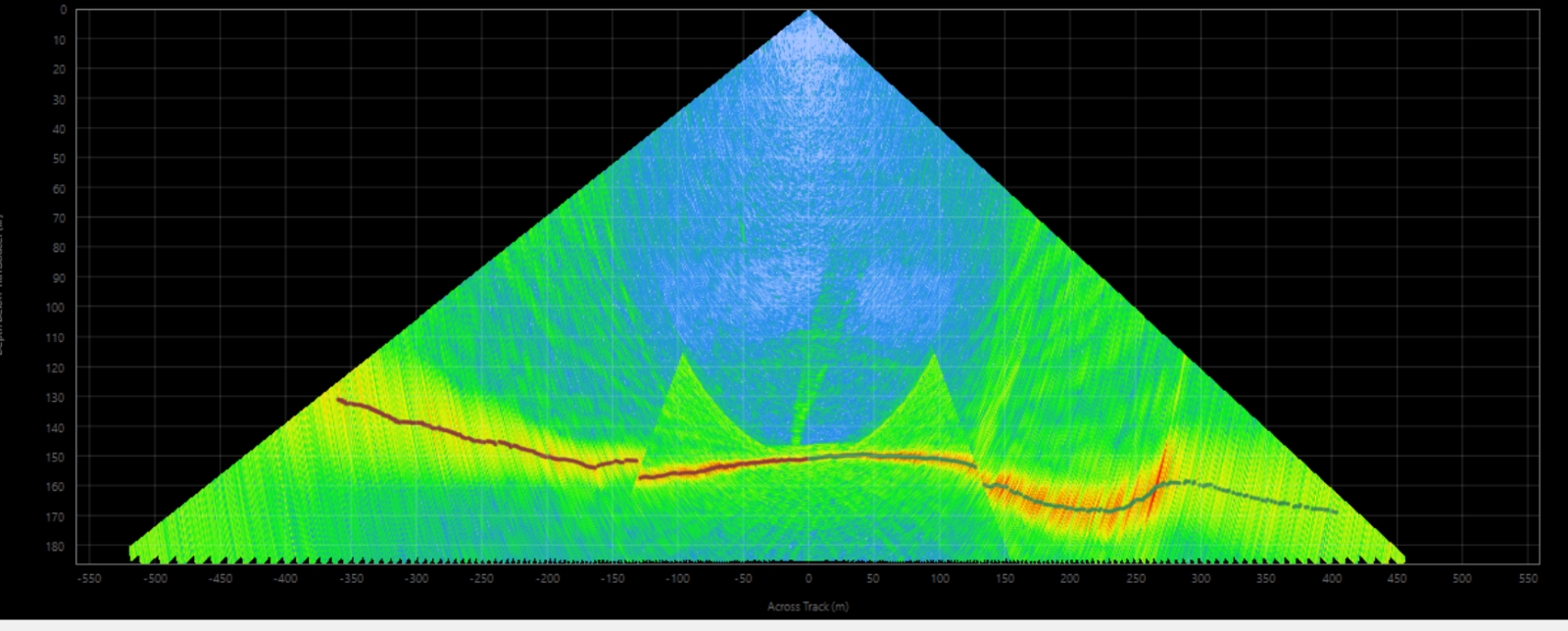
This confirmed that this vent field is larger than previously thought and that it has been active for at least 15 years. We were also able to collect some chimneys in one of our dredges, which were then sampled, sketched and described.
This marked the end of a splendid first week on the M191 expedition. For more information, the weekly reports compiled by the expedition’s chief scientists can also be accessed here: https://www.ldf.uni-hamburg.de/en/meteor/wochenberichte.html Let’s see what the second week holds in store for us!
Blog post written by Jacqueline Grech Licari (Science Communication Manager and Scientist onboard R/V Meteor – M191)